

Alla Lama scendendo dall’alto
SityTrail - itinéraires balisés pédestres
Tous les sentiers balisés d’Europe GUIDE+

Lengte
10,5 km

Max. hoogte
1425 m

Positief hoogteverschil
707 m

Km-Effort
20 km

Min. hoogte
703 m

Negatief hoogteverschil
723 m
Boucle
Neen
Markering
Datum van aanmaak :
2022-02-15 17:51:19.283
Laatste wijziging :
2022-03-01 21:57:40.739
4h32
Moeilijkheid : Gemakkelijk

Gratisgps-wandelapplicatie
Over ons
Tocht Te voet van 10,5 km beschikbaar op Emilia-Romagna, Forlì-Cesena, Bagno di Romagna. Deze tocht wordt voorgesteld door SityTrail - itinéraires balisés pédestres.
Beschrijving
Trail created by Parco Nazionale Foreste Casentinesi.
Plaatsbepaling
Land:
Italy
Regio :
Emilia-Romagna
Departement/Provincie :
Forlì-Cesena
Gemeente :
Bagno di Romagna
Locatie:
Unknown
Vertrek:(Dec)
Vertrek:(UTM)
729297 ; 4854978 (32T) N.
Opmerkingen
Wandeltochten in de omgeving

Un anello nella Valle dell’Archiano tra Serravalle e Badia Prataglia


Te voet
Gemakkelijk
Bibbiena,
Toscane,
Arezzo,
Italy

10,1 km | 19,2 km-effort
4h 22min
Neen
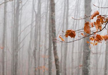
Nella solitaria, selvaggia valle di Pietrapazza


Te voet
Medium
Bagno di Romagna,
Emilia-Romagna,
Forlì-Cesena,
Italy

11,1 km | 21 km-effort
4h 52min
Ja

Un anello nel cuore del Parco


Te voet
Zeer moeilijk
Poppi,
Toscane,
Arezzo,
Italy

49 km | 84 km-effort
19h 10min
Ja
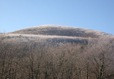
(SI L05) Badia Prataglia - Passo della Calla


Te voet
Medium
Poppi,
Toscane,
Arezzo,
Italy

17,6 km | 30 km-effort
6h 52min
Neen
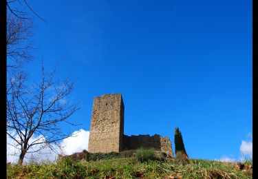
La Via dei Legni


Te voet
Gemakkelijk
Poppi,
Toscane,
Arezzo,
Italy

10 km | 13,4 km-effort
3h 3min
Neen
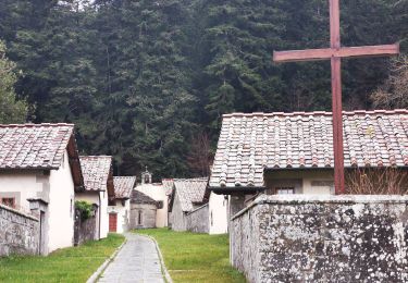

Le foreste sopra Badia Prataglia


Te voet
Gemakkelijk
Poppi,
Toscane,
Arezzo,
Italy

9,6 km | 17,6 km-effort
3h 59min
Neen
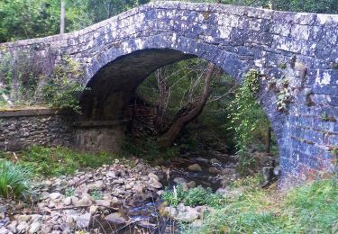
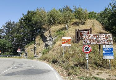
Alta Via dei Parchi: Tappa 24


Te voet
Moeilijk
Poppi,
Toscane,
Arezzo,
Italy

25 km | 41 km-effort
9h 18min
Neen


 SityTrail


